
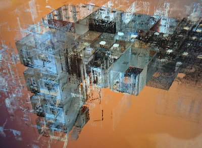
Recent surveys have been undertaken to produce floor plans and elevations of an office block.
The property owner required detailed information of their asset and we were able to assist with topographic survey, laser scanning, levelling and creation of a dataset that can be added to later. Using the latest laser scanner on the market – Leica RTC360 we captured a lot quickly, then it was off to the office to process a large 3D digital dataset.